Spring is 20 days early

Well, just so you are aware, many of these big storm create some severe weather in the nation's wang (Florida) as well.

In this case the first phase does happen down that way, creating just messy, heavy rain down there over the weekend and through Monday. But it doesn't look like severe, tornado type at this point. It really doesn't get crazy till the second phase happens, bringing in a third piece of energy and approaching the crazy high. It will be somewhere between Georgia and Hatteras before that happens.
 
Stevo, wrong storm. We are talking about Monday night through Tuesday. You're on the periphery. Which means 0-20" with this beast, lol. Most likely about halfway between, which still makes it significant. And a little wobble west makes it historic for you.
 
Looked at models closer. Euro, Canadian, and Navy models keep it slightly offshore. Less for western PA, more for the coast. GFS and UkMet have a coastal hugger. Western areas get in on it, but Jersey coast sees some rain. Eastern PA slammed in both scenarios, and I'm not gonna split hairs between 20" and 30", it's a dumping either way.

Getting close to being in range for the Nam. Short range hi res models not till Sunday.
 
5 inches and still snowing hard in West Chester at 11 AM......I'm going to visit a friend in Tyrone next week.....we were suppose to fish,but it will be probably just a planning session for some trips in 2017.
 
pcray1231 wrote:
Stevo, wrong storm.

Oh, I know. The local news and Weather Channel both made last night's snow out to be some big major thing with 5" forcasted. It didnt happen

I wont be surprised if they are wrong about the next one too. Currently they are saying 2-7" here.
 
Mark my words.. nothing will happen on Tuesday. And as a qualifier, last time I said that, we got 30" in the Lehigh Valley (last year).
 
Mark my words. You are wrong.

As a qualifier, I don't know whether you will get 10" or 35". But it's all but certain a significant storm will impact you.

Are there major uncertainties? Of course! Right along I95, including Philly, will be fighting p-type issues. Won't be much separation between 20 some inches and mostly rain. I can tell you that line will be SW to NE in orientation, but it could set up just west of Philly or stay offshore of Jersey. That leaves all the big cities with plenty of uncertainty.

There's also uncertainty on how quickly it winds up, which effects southern extent for places like WV, VA, DE, and MD mostly. And the same questions, as well as physical size of the precipitation shield (pressure is easier to predict than precipitation), well they leave the westward extent of the bigger totals in question. Pitt could get from 0 to 20+.

All normal questions for all major coastal storms in this area.

But from Philly's NW burbs, over to a curved line from Bedford through State College and over to Wilkes Barre, well, you are in the inevitable zone. That includes Lehigh Valley. In that region some will get 30ish. Some will get dry slotted and stay in the low teens. Can't tell you who's who, probably not even till Tuesday. But it's still gonna be significant for that whole area.
 
Whose up for some Keystone Select stream forays on Tuesday? Shouldn't be too crowded...
 
pcray1231 wrote:
Mark my words. You are wrong.

As a qualifier, I don't know whether you will get 10" or 35". But it's all but certain a significant storm will impact you.

.

Yeah I guess I probably am wrong, there is 100% chance of weather next week. ;).

I'm always skeptical of these predictions, as it seems more times than not, wherever I am, they never come true. So I guess more specifically I am saying it wont amount to squat in Bethlehem PA.

I guess we'll see....

 
salmonoid wrote:
Whose up for some Keystone Select stream forays on Tuesday? Shouldn't be too crowded...

I'm all in! My favorite time to fish, it doesn't get any better.
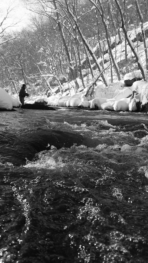
20160125_143031_zpscovb9svy.jpg


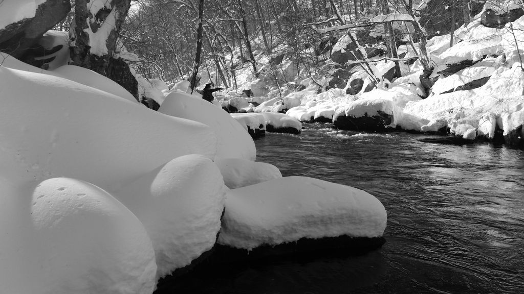
20160125_142507_zpsgmvsgvht.jpg
 
Wait, we're gonna fish here next week? I thought we were all headin out to Missouri to help them midwestern fellas round up their Trouts. I already rented the van.
 
Still down for the trip to the "Show Me" State but man, the #12 Adams hatch on Valley could be epic in the middle of the snow storm....

Ryan - cool pics! That's hardcore.
 
Yinz guys can have that cold and snow. IMO, ice fishing is best done with tip ups.

I was able to cancel my vacation for next week. Save that time off for better weather
My plans were to fish in central PA. The forecast there is for only one day in the next 5 to get above freezing - and that is only a high of 34 on monday. Plus more snow tuesday and wednesday. Not for me.
And even the guys I meet and fish with up there aren't likely to go out in that kind of weather either.
 
Swattie87 wrote:
Wait, we're gonna fish here next week? I thought we were all headin out to Missouri to help them midwestern fellas round up their Trouts. I already rented the van.

You got me there! :lol:
 
I'm thinking this ends up being an impressive snowstorm for March across most of PA, but maybe not crippling like last year's. My call is 12-18" with higher amounts in the Poconos. If the models with Eastern track are correct, make it 6-10 with 10+ in SE PA.
 
My. Holly startin to get realistic. CTP hasn't stepped up to the plate yet.

http://www.weather.gov/phi/winter

I'd add 3 or 4 inches to the min and 10 to the max, but the "most likely" is about right.
 
Now CTP takes a swing on min, most likely, and max snow maps for it's zone (most of central PA). Looks reasonable, considering how far west the low tracks remains in question.

http://www.weather.gov/ctp/winter
 
Expect predicted totals to go up today around 3:30. Today's 12z models were insane for east PA pretty much across the board. Lots of places around or over 2 feet. I kind of expect them to up the predictions from around a foot to high teens, and that's still somewhat conservative.

FD, starting to show some lake effect on the wrap around too. Stripe of around a foot along southern lake sure. Few inches less at your place.
 
Personalty I'm still waiting for enough snow to pull the snowblower out of the shed. I have not used it at all all winter. Shoveled twice with 3" in the driveway. Mild winter up here with little Lake Effect snowfall along the lake.
I have had to use the snowblower at least once every year since I purchased my home 16 years ago. This year may be a first(keeping my finger crossed).
But, there is always a St. Patty's snow up here. Usually once we are past that 2 more light snows till spring.
 
I'm liking what I'm seeing. Already had Monday scheduled as a vacation day, and it is looking like I will end up with a four day weekend. Have not shoveled once this whole winter. Bought gas for the snowblower before one fizzle of a snow, so I am good to go. Hoping for historic amounts!
 
Back
Top