salvelinus
Well-known member
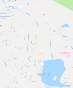
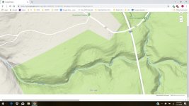
Swattie, all I remember is tiptoeing along the edge of the pool with the water to the top of my waders. I might have gotten out and crawled on hands and knees through the rhodo. It is a beautiful stream below, nothing but falls and plunge pools, but I don't think it's worth the effort unless you are a young man looking for adventure. I certainly would have never done it alone. Luckily we were able to rehydrate at the Old Hickory Inn just up the road.
")