td566
Active member
Hi everyone.
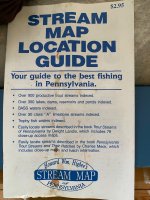
Going through some of my dad’s things today and came across this guide and large laminated map that shows all streams and watersheds in PA.
Having moved away from PA in the mid 80s, I had no idea this was in existence. As a lover of maps it’s pretty fascinating to me. I wish I had uncovered it back in January to pass the winter hours.
Anyway, just wondering who out there is familiar with it. The copyright is 1996 and I’m wondering if it was ever updated with color coding of the different streams based on the trout stream classifications etc.
Maybe the digital age of mapping just left it in the dust.
Thanks. TD