I Hate to Even Ask

View attachment 1641227009
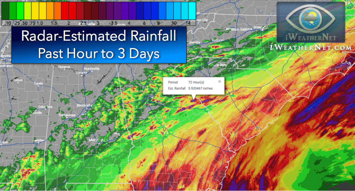
And the beat goes on! Some in the upper watershed but most of the tribs around Central area getting very little.
I'm not 100% sure what that picture is showing but I know your general point is there isn't enough rain. We just got 4 inches yesterday and that's pretty close to Penns. Penns got rain because the flow doubled in the stream. What am I missing here?
 
I have been following rainfall patterns for a good part of the summer for that area. I hadn't checked the stream flow yet, so looks like good news. The areas around the most popular fishing areas are still rain-starved compared to surrounding areas. Tributaries like Poe, Panther, and Swift have gotten very little compared to Upper Penn's Valley and areas to the northeast like Ingleby up to the upper Pine Watershed. In fact, those areas have gotten some very high amounts albeit in very short periods of time. Not trying to be full of doom and gloom. It will be interesting to see how quickly the levels drop since these rain events were not widespread and most likely produced some quick runoff.
 
As far as water temps, I think we are probably past the critical period. While not "good" by any stretch, we've gotten some water, and the nights are now longer and the days a bit cooler. We need more rain for sure to let fish spread out and make fishing better, but as far as mortality, I think we're probably over the hump.
 
We measured 1.75 inches of rain Sunday late afternoon.
 
Where exactly are you at Weikertgal?
This is the website I use and always took it as being pretty accurate. I may need to find a new website?
This website shows previous 72 hours so it included Sunday's rain. It shows 1.5 or so around the town of Penn's Creek. Similar numbers a good deal farther north around Union. If you follow Penn's up from town of Penn's Creek including all the tributaries it does not hit 1 inch until above Coburn.
Note this may update and change the numbers soon.

two miles east of the fish commission parking lot at the end of Winters/Weikert Road. I used a old style rain gauge as my weather station rain gauge is clogged.
 
Fish movement in rivers and streams can be initiated in responses to temperatures and/or flows.
 
Back
Top