M
moon1284
Well-known member
- Joined
- Aug 4, 2010
- Messages
- 1,571
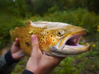
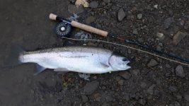
I've never steelhead fished in PA, so I wasnt speaking for the erie tribs there (or ohio). Obviously sandbars across creek mouths are a problem.
I'll stand by my statement that I'm sure there are steelhead in the big wny (western new york) erie trib though.
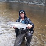
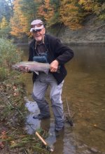
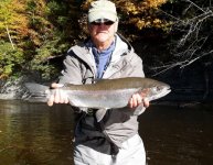
I agree everyone should fish the ny Ontario tribs less crowds where I fish LOL. I lived in syracuse for almost 6 years. The last 3, I drove west and fished wny erie tribs or the niagara river exclusively. Not a big fan of almost all of the ontario tribs - and I'd say I've fished better than 80 percent of them between the Niagara river and the black river.
I'll stand by my statement that I'm sure there are steelhead in the big wny (western new york) erie trib though.
I agree everyone should fish the ny Ontario tribs less crowds where I fish LOL. I lived in syracuse for almost 6 years. The last 3, I drove west and fished wny erie tribs or the niagara river exclusively. Not a big fan of almost all of the ontario tribs - and I'd say I've fished better than 80 percent of them between the Niagara river and the black river.