Potential stream surveying / reconnaissance

Usgs stream stats. Note on small drainage areas many of the features are glorified estimates, the smaller the watershed the less accurate the model. Drainage area though is quite accurate in my experience.
 
The PAFBC County Guide provides all the information necessary to apply the 5 square mile methodology.
I will use Mitchell Creek in Susquehanna County as a convenient example to illustrate the methodology. It is located within the Allegheny Plateau geographical province and it is located almost entirely on State Game Lands. Because I estimated the catchment size to be approximately 13 square miles, I had high hopes for this stream thirty years ago. At first look, I was very pleased. It was not covered by rhododendron or any other dense shrubby vegetation. However, after fishing for about three hours I had picked only one small brook trout. The limiting factor was stream bed composition. Although the stream had a steep gradient and plenty of small falls, The bed was composed almost entirely of pool table flat bedrock with very little cobble or gravel bed load. Still, it was a beautiful, unspoiled place.
IMG 6125
 
Troutbert: See pic. I measure the length of the stream. Then I plot out the width of the catchment by highlighting the highest ground between the stream and its adjacent stream catchments (black dashed lines on pic). The width includes all tributaries flowing into the stream. In this case Deacon brook qualifies. I take three or four width measurements and average them to get an approximate average catchment width. Length x width equals approximate catchment area in square miles.
 
Susquehanna County is famous for its Bluestone shale, a very flat bedded and horizontal material. It’s gorgeous stone but doesn’t make for good fish habitat. It is very slow to erode and doesn’t break down into nice rounded cobbles, but rather flat blocky structures.
 
Tups, stream stats shows Mitchell creek having a drainage area of 9.44 Sq miles right at its mouth. This includes all tribs to that point. Just an FYI.

Some watersheds may before conducive to a reasonable estimate using your method, but watersheds are rarely uniform in nature.
 
As to estimating square mileage of a given watershed, I used to just guesstimate using topo maps online and rough tracing the watershed. Similar to the prior posts above. I got reasonably decent at it, and could probably eyeball it to a 25% or less margin of error. Which realistically from a practical standpoint is close enough.

Then I found this…probably just a bit more accurate. 😉

DEP - Stream Drainage Size
I was about to post the link to The Pa Gazetteer of Streams as well, but Swattie got the drop on me. It doesn’t have all streams, but it does have a very large number of streams given that it’s 155 pages and the print isn’t large. Good reference!
 
Only works sometimes, but if the satelite photo is taken when the foliage is down, you can actually see the stream and judge its size as well as evaluating the type of riparian cover such as hemlocks or rhododendron present.
1710714363533
 
As to estimating square mileage of a given watershed, I used to just guesstimate using topo maps online and rough tracing the watershed. Similar to the prior posts above. I got reasonably decent at it, and could probably eyeball it to a 25% or less margin of error. Which realistically from a practical standpoint is close enough.

Then I found this…probably just a bit more accurate. 😉

DEP - Stream Drainage Size
I've always been a little suspiscious of the drainage areas listed in the Gazetter - not because I think they're wrong, but because they may not be represenatative of the part of the stream system you may be fishing. i always assumed they represented the drainage at the mouth of whatever stream they were associated with.

What I'm talking about is if you end up hiking in a start fishing say, 2 miles and 3 tribs up from the mouth, the drainage your fishing could be significanly less.

Because of that I use streamstats. Here's the steps I follow right from my own small stream tools set:

How to calculate the Contributory Drainage Area for your project using USGS Stream Stats:

2. Search for your location by entering an exact address, town name, zip code, county, etc. or panning the map. You can change the Base Map in the upper right section of the display.​
3. Select PENNSYLVANIA as the State or Regional Study Area.​
4. Zoom into the map until blue streams appear pixelated (Zoom Level 15 or greater in the tool).​
5. Click the DELINEATE Button to activate delineation tool.​
6. Select your exact assessment location by clicking on the stream you’re targeting at your desired location.​
7. Delineating will begin and a yellow delineated drainage basin will appear on the screen​
8. Scroll to the bottom of the left pane and select CONTINUE​
9. Expand the BASIN CHARACTERISTICS drop down menu, select Drainage Area (DRNAREA) and any other property that interests you.​
10. Select CONTINUE to calculate selected basin characteristics​
11. Once completed you can select the OPEN REPORT to view the data. Drainage Area is given in square miles.​
12. You can DOWNLOAD a copy of the report from within the “open Report” pane.​

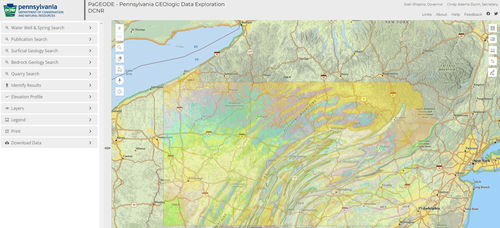
I'll fish streams a lot smaller than Swattie's threshold and certainly in the range of assessing gradient. For that, I use the elevation profile tools built into the DCNR maps for a quick assessment:


A click at point A and point B along a stream's rough path will give you pretty accurate gains/losses min/max/ave and slope in degrees.

Still doesn't address the habitat question that tups and others have eluded to . . .
 
Susquehanna County is famous for its Bluestone shale, a very flat bedded and horizontal material. It’s gorgeous stone but doesn’t make for good fish habitat. It is very slow to erode and doesn’t break down into nice rounded cobbles, but rather flat blocky structures.
There are also many stream sections in NCPA flowing over flat bedrock with poor habitat.

I don't think the cause of that is primarily geology. I think historical alterations such as stream straightening and isolation of streams from their floodplains by logging railroad grades, rock walls, berms, and road grades, and loss of large woody debris has caused streams to have much higher velocities than normal, causing incision (downcutting), stripping away the cobble and gravel that would normally have been there, leaving long sections running over flat bedrock.
 
The drainage area in the link I posted is the entire watershed, measured at the mouth.

I should have clarified that my 5 square mile threshold was also being judged at the mouth. I do fish many streams smaller than that, but they’re generally steep ones, as discussed above.

Yeah. If you’re fishing it way upstream, clearly it will be smaller, and eventually too small to effectively fish. But 5 sq miles is of fishable size at its mouth.

As to the habitat in those slab rock formation sections, if the stream otherwise holds a decent population of fish, there are fish there too. Camping overnight on such a section of stream and shining your light onto those pools at night will reveal their presence. They can really wedge themselves into some tight places during daylight. This is especially true with wild Brown Trout.
 
Last edited:
Back
Top