hot summer days

Big Pine was >88 Degrees at Waterville last Saturday. How does that translate to temperature upstream at Slate Run? The gauge at Cedar Run doesn't have a thermometer.
I would assume close to 80 degrees if Slate Run itself got to 72 degrees 5 miles upstream the same day.
 
I camped at pettecote jnctn 2 weekends ago. Pine creek was warm and I didn’t see many risers in evening. I never fished but still had a great time. Lots of ppl still fishing when I was there. We’ll probably go camping there in may next year. I love that area of the state.
 
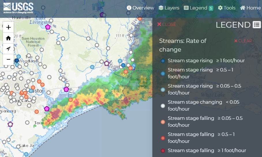
you can also use this national water dashboard to see the gauges, rainfall rates, and many other layers. It takes a few minutes to play with the settings to see the layers you want - but it is my go-to for all water data these days. You can click on any gauge and it will open the data for that gauge.
The free app rivers.run is great for checking USGS flow rates and changes, water levels and temp where available. The initial setup is a bit clunky, but thereafter it’s quick. It’s ostensibly a paddling app, but good for river and creek info:


IMG 3466

IMG 3467
 
Last edited:
Remember the old days when we just drove by the creek we wanted to fish, looked at it... then made the decision to fish it... if conditions were less than ideal.. say too high n dirty or too low n clear. We just made adjustments to the conditions to have success...think it made us better apt to handle conditions on future excursions
 
Back
Top