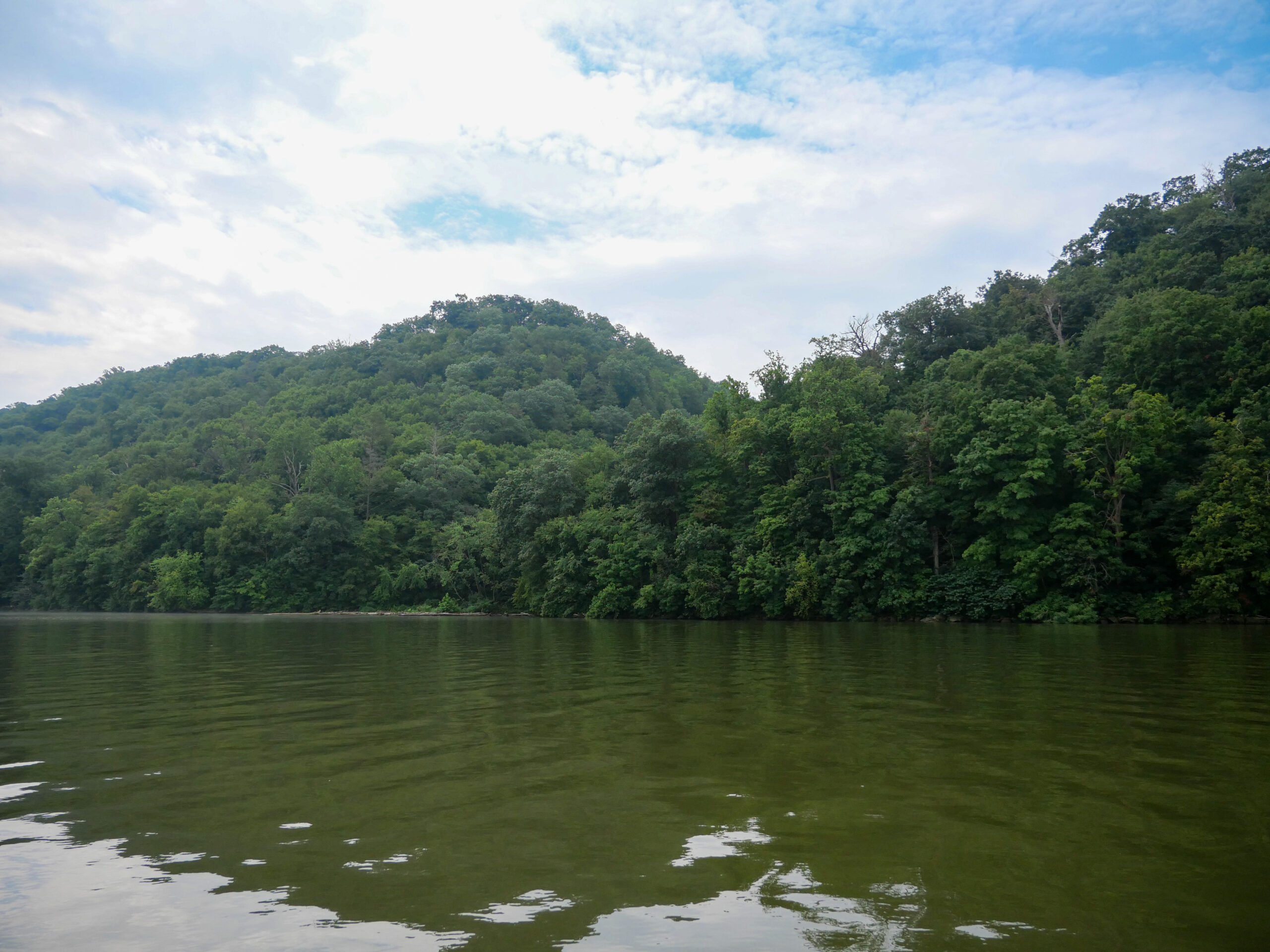
Cuffs Run Project

JeffP

Well-known member
Joined
Nov 21, 2007
Messages
1,131
City
Lititz, Pa
There was a big article in today's Lancaster paper about this project. Are any of you familiar with the project or the land that may be used? I was really struck by the comments of the chief developer. His response to those with concerns about the environment and open space seemed very distainful. He says "those comments are reactionary and emotional" and says to "all this crying will go away." He also says that they are "making up things like damaging beautiful wildlife" and that "it's crazy." It doesn't sound like the best strategy in trying to convince people to give up their land. This project borders Lake Clarke above Holtwood.
 
The preliminary FERC approval gives the developer the authority to study the potential project. It likely has a steep, uphill battle to build a new dam on the river among other major regulatory hurdles.
 
It’s basically the same thing as the muddy run generation plant on the other side of the river in Lancaster county. It will flood a huge amount of woods and and farmland with the impoundment of Cuffs run.
 
I don't know about having trout. I never saw or caught any. Looks like they should be there. I have been there many times. I go by boat. It is a beautiful ravine with great wildflowers and mushrooms and wildlife. An excellent place to see all sorts of warblers. It is a bit remote so some of the more shy bird species can turn up there. Some might say streams coming into river in that area are no big deal but this spot is very special.
 
I don't know about having trout. I never saw or caught any. Looks like they should be there. I have been there many times. I go by boat. It is a beautiful ravine with great wildflowers and mushrooms and wildlife. An excellent place to see all sorts of warblers. It is a bit remote so some of the more shy bird species can turn up there. Some might say streams coming into river in that area are no big deal but this spot is very special.

I’ll bet it has Browns.

I admit I have never fished it. But if my only two choices are “yes” or “no”, my best guess would be yes. Given its location.
 
There was a big article in today's Lancaster paper about this project. Are any of you familiar with the project or the land that may be used? I was really struck by the comments of the chief developer. His response to those with concerns about the environment and open space seemed very distainful. He says "those comments are reactionary and emotional" and says to "all this crying will go away." He also says that they are "making up things like damaging beautiful wildlife" and that "it's crazy." It doesn't sound like the best strategy in trying to convince people to give up their land. This project borders Lake Clarke above Holtwood.


Environmental regulations are generally what people talk about when they say "unnecessary government interference." It's unnecessary red tape, unless it's your trout stream, or old growth forest, or waterfowl habitat that's getting plowed under, dammed up, or logged for paper pulp.

A quick word about the Cuffs Run project: It's sole purpose is to increase how much can be charged for electricity generated at the Conowingo-Muddy Run-Peach Bottom complex. These three facilities are inexorably linked, and a Cuffs Run facility would add a fourth component.

It is difficult to ratchet down electric production at nuke plants and especially hydro-electric dams during low demand periods when market rates for electricity are low. This is particularly true in springtime when the river's flow is high.

The solution: Instead of selling electricity at 11 cents per kilowatt hour when demand is low but the river is raging and you need to keep the nuke hot for peak hours, you can use electricity generated off peak to pump water up a hill. Then, when demand is high and the price is up to 16 cents per kilowatt hour, you release the water on the hill and collect that extra 5 cents per kilowatt hour.

(Actually, it's more than 5 cents, because that same water then passes through the turbines at Conowingo giving Constellation energy a slightly boosted flow during peak demand hours.)

In short, this project is about one thing: making it so the power company can make a few more dollars. It does not increase the electricity generating capacity of the dam and nuke plant. It actually reduces capacity because of the massive friction related losses in power that are the natural result of pumping water uphill.

This is exactly how Muddy Run works, and this will just be a second Muddy Run facility.

More mind numbing detail: Unlike a lot of later hydroelectric dams, Conowingo has no storage or flood control capacity. The pond elevation only varies a few feet between peak and low water. Also, the pond level upriver from the dam must be maintained substantially higher than the pre-dam riverbed so that Peach Bottom can draw water to cool its nuke operation.

Since Conowingo has no storage capacity, and does not have the option of draining the pond during peak price hours to make room for water to build up during non-peak hours, facilities in the Muddy Run style essentially allow for storage capacity. This capacity, mind you, is strictly to increase profits. In its decades of existence, Muddy Run has never been drained in anticipation of a major flood with an eye toward easing conditions downriver.

The whole operation is an absolute marvel of technology (seriously), especially considering Conowingo Dam is a century old, the original reactor at Peach Bottom operated experimentally starting in 1958, Muddy Run went online in 1968 and the Peach Bottom commercial unit went online in the early 1970s. It's a license for the power company to print money using the public resource of river's water. Also, keep in mind that the original experimental reactor was a cooperative (shared funding) enterprise involving the old U.S. Atomic Energy Commission. Once it was set up with the help of the federal government, it was turned over to the "private sector" to ensure efficient and safe operation.

There's every reason to believe the opening for the cartoon The Simpsons, where Homer is asleep at the switch in a nuke plant, as the show began airing a few years after a massive sleeping on the job scandal that was exposed at Peach Bottom.

To paraphrase John Prine, the whole enterprise on the lower Susquehanna involved torturing nature "until the land was forsaken, and writing it down as the progress of man."

Mr. Peabody's coal train may not be involved, but Philadelphia Electric and its successors certainly extracted a lot of money out of the river, and managed to end a massive run of white shad that got as far up river as Binghamton, NY, starting at the end of the last ice age and ending in 1929.

Maybe they'll let us fish for bass in the new Cuffs Run lake.
 
There are several Susky feeder creeks that are listed as "Natural Repro", yet likely have minimal wild trout, at best. Wilson Run (one creek south of Cuffs Run) in Appollo County Park is one such location. Beautiful setting in a gorge flowing to the Susky, but not much in the way of trout.

IMG_8776.JPEG


Based on the carving of the banks, I'd have to suspect it gets hit hard by flooding events.

IMG_8773.JPEG


Beautiful park for a hike though.
 
There are several Susky feeder creeks that are listed as "Natural Repro", yet likely have minimal wild trout, at best. Wilson Run in Appollo County Park is one such location. Beautiful setting in a gorge flowing to the Susky, but not much in the way of trout.

View attachment 1641239447

Based on the carving of the banks, I'd have to suspect it gets hit hard by flooding events.

View attachment 1641239448

Beautiful park for a hike though.

I have fished that one, and did spook a Trout or two, but didn’t catch any. Couldn’t be sure on species, but if I had to guess, they looked like Browns.
 
There aren't too many you haven't fished. 🙂

Yeah, I’ve looked at Cuffs before and thought about it. But the poor fishing in its neighbors (despite being on the nat repro) had me suspect Cuffs likely was a dud too. And it’s right on the border of the smallest type of streams I like to fish, probably a little too small actually. And from the maps, it looks like the already small watershed (2 sq mile-ish) splits roughly in half a couple hundred yards up from mouth at the Susky. Above that split, each trib will be absolutely tiny, probably unfishably tiny (unless you’re k-bob). So there’s not a lot of fishable water there, which in my mind led me to believe it’s not worth the effort. I still think it likely has Trout though.

There’s a small handful of good options further south in the York Co. side River Hills and I end up on one of those streams when down that way usually.
 
Last edited:
Wilson suffers mightily from erosion as you can see in Wgmillers pictures. Also, lack of flow is an issue and It’s barely a trickle in August. That being said I have caught exactly one brown trout and a handful of brook trout. Hardly the stuff of legends. Even though it is one of my most frequented summertime haunts for hiking and mushroom hunting I have no desire to fish it ever again.
 
Yeah, I’ve looked at Cuffs before and thought about it. But the poor fishing in its neighbors (despite being on the nat repro) had me suspect Cuffs likely was a dud too. And it’s right on the border of the smallest type of streams I like to fish, probably a little too small actually. And from the maps, it looks like the already small watershed (2 sq mile-ish) splits roughly in half a couple hundred yards up from mouth at the Susky. Above that split, each trib will be absolutely tiny, probably unfishably tiny (unless you’re k-bob). So there’s not a lot of fishable water there, which in my mind led me to believe it’s not worth the effort. I still think it likely has Trout though.

There’s a small handful of good options further south in the York Co. side River Hills and I end up on one of those streams when down that way usually.
Yes, all of the “river hills” streams flowing into the Susquehanna in York and Lancaster Co are subject to flow problems so it pays to assess the drainage areas, which dictate their summer conditions, before heading out on an adventure. I think that’s all I’ll say about that network of streams😉.
 
My pictures above were in early April of 2021. I can only imagine what that stream looks like as the spring and summer wear on. Lots of good points on the drainage areas and where some of the Susky streams originate.
 
Top